
Walk Cuyahoga County Streets by Address
The useful question is not simply who appears near a Cuyahoga County street. It is which parcel matches a house number, what ownership or document record attaches to that parcel, and whether a dated directory or voter record supports a separate conclusion. The Fiscal Office’s MyPlace service begins that chain with a municipality selector and Address, Owner, and Parcel routes. Record the site address and permanent parcel number exactly as returned. A listed mailing address is tax correspondence, so it is not evidence that the named party is at the site.
Move from the address to the parcel before comparing names. The map identifies the property boundary, while recorded documents identify parties to an instrument. A voter lookup can confirm the registration information for an already identified person, but Ohio’s reviewed public screen is not a browseable roster for an entire street. Historical address sections provide a dated listing only. Keeping those roles distinct makes a street-by-street search more accurate.
- Search the address and municipality in Cuyahoga County MyPlace. Save the site address, parcel number, and the labels used for owner and mailing address.
- Open View Map or the County parcel service to confirm which boundary and parcel PIN belong to the number. Check adjoining parcels separately when the site has more than one parcel.
- Use transfers and Legal Recordings as leads into the Official Records Search. Preserve the document number, date, and legal description.
- For an identified person, use Ohio My Voter Information with the required first name, last name, and Cuyahoga County fields. Treat the result as registration and precinct evidence only.
- For an older address, use the post-1929 Cleveland directory address section, then verify the matching alphabetical entry and edition date through the library collection.
Note: Preserve the original street spelling, directional prefix, unit, municipality, parcel PIN, and record date before comparing records from different offices.
Cuyahoga County Street Directory at MyPlace
MyPlace is the practical first stop for a current Cuyahoga County address lookup because it links an address to a county parcel card. Select the precise municipality where possible. The countywide view includes Cleveland and many suburban governments, which matters when the same street name occurs in more than one community. After choosing Address, enter the known number and street. The resulting card can lead to transfers, values, land and building details, permits, tax years, Legal Recordings, and review cases.
The Fiscal Office describes MyPlace as compiled property information. Use it to find identifiers and routes, then consult the originating office when the original record is needed. The parcel card’s site and mailing fields have different jobs. Site, also called situs, means the physical parcel location. Mailing means where tax correspondence is sent. Neither field alone creates a complete household list.
| MyPlace control | Form | Use in an address search | Local caution |
|---|---|---|---|
| City | Dropdown | Choose a municipality or Entire County | Use the municipality shown with the address. |
| Search By | Owner, Parcel, or Address | Start with Address, then cross-check by parcel | One mode must be selected. |
| Search | Text entry | Enter the known address after choosing a mode | Keep the returned spelling with your notes. |
| View Map | Button | Move from the property card to map context | Map placement is an index, not a certification. |
| Parcel tabs | Navigation | Open transfers, permits, taxes, and Legal Recordings | Each tab describes a record category, not all people at the address. |
The County municipal officials directory helps route a local request once the municipality is known. It is especially useful where a permit or code record belongs to a city office rather than the countywide parcel system.
The County’s municipal officials page is shown below.
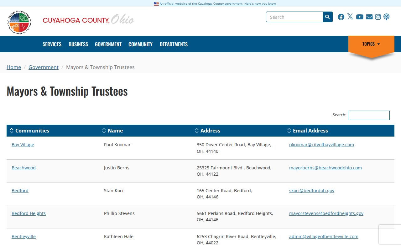
The municipal contact route is a handoff for a city-held record, not proof about a parcel or a person.
Map a Cuyahoga County Street Parcel
A permanent parcel number is the bridge between a Cuyahoga County address search and the map. County GIS publishes fields for the parcel PIN, parent and retired parcel relationships, map book and page, parcel information, and geometry. Use MyPlace View Map to orient the address, then click the parcel or query the GIS service. Where a boundary is unclear, the map book, page, lot, subdivision, and legal description are stronger identifiers than a similar-looking street number.
A parcel can be split, combined, or connected to a parent record. That is why each result needs its own PIN. The public layer supports querying and map navigation, but it is a geographic index. It should be checked against the property card and the recorded instrument before a name is carried forward in the chain.
- Parcel
- A defined piece of land or property tracked by the county with a permanent parcel number.
- Situs address
- The physical address assigned to the parcel, which is different from a tax mailing label.
- Plat
- A recorded map that lays out lots, streets, and other property divisions.
- Criss-cross directory
- An address-first listing used to find a dated entry, then checked against that edition’s name listing.
The Cuyahoga County GIS parcel layer exposes the map fields used for this parcel check.
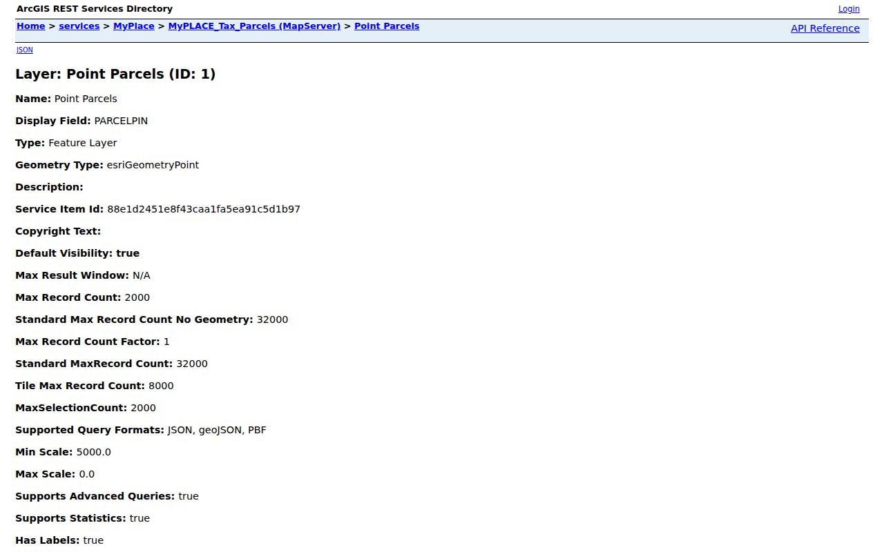
The GIS view helps match an address to the right parcel before the document trail begins.
Cuyahoga County Address Record Chain
Several Cuyahoga County records can be keyed to an address, but they answer different questions. MyPlace supplies a parcel and property-card lead. GIS supplies map identity. The Recorder supplies a document trail. Cleveland permit and code files can document a submitted or issued local record when that municipality is the custodian. The state voter tool can help confirm a person already identified by name. No one of these systems is a complete list of everyone connected with a street.
| Address record | Custodian | What it can show | Access route |
|---|---|---|---|
| MyPlace parcel card | Cuyahoga County Fiscal Office | Parcel, site and mailing labels, transfers, values, permits, and document leads | Free MyPlace search. |
| Parcel GIS | County Enterprise GIS | PIN, parent or retired parcel, map book/page, and geometry | Free public GIS service. |
| Recorded documents | Fiscal Office Recorded Documents | Deeds, mortgages, liens, plats, parties, dates, and images | Online index and image search; Recorder counter and requests remain available. |
| Voter information | Ohio Secretary of State and Cuyahoga Board of Elections | Registration, precinct, and polling-place information after name-and-county search | Official lookup or DATA Act delivery route, with protections and limits. |
| Permit or code file | Municipality named by the address | Documented permit, certificate, or code-request record | Ask the local custodian; MyPlace also has a permits tab. |
The parcel PIN joins property and map work. The legal description and document number join a parcel to the Recorder. A street name alone should not be used to merge results from a corner lot, a unit, or a changed address. For a broader past-address method, the historical volumes are discussed on the Cuyahoga County city directory page.
Cuyahoga County Deed Search Details
The Recorder’s advanced Official Records Search narrows a busy address trail with party names, separate grantor and grantee tokens, recorded or instrument dates, document type, document number, parcel ID, volume, page, property address, and document image controls. The field format for a separate party token is LASTNAME FIRSTNAME. Quick Search also permits grantor or grantee, subdivision, document type, or document number, and its parcel query requires dashes in the displayed parcel pattern.
Start from a transfer or legal-recording lead on the parcel card. Open the current acquisition document and record the seller, buyer, date, document number, parcel, and legal description. To move back, search the seller as a grantee with the same parcel or legal-description constraint. The index can search multiple words differently from full-text OCR: Index Only treats them separately, while Index & Full Text treats a multiword entry as a phrase. OCR is a finding aid, so inspect the image and index before relying on a result.
The Recorder’s advanced-search screen shows the available address, party, date, and document controls.
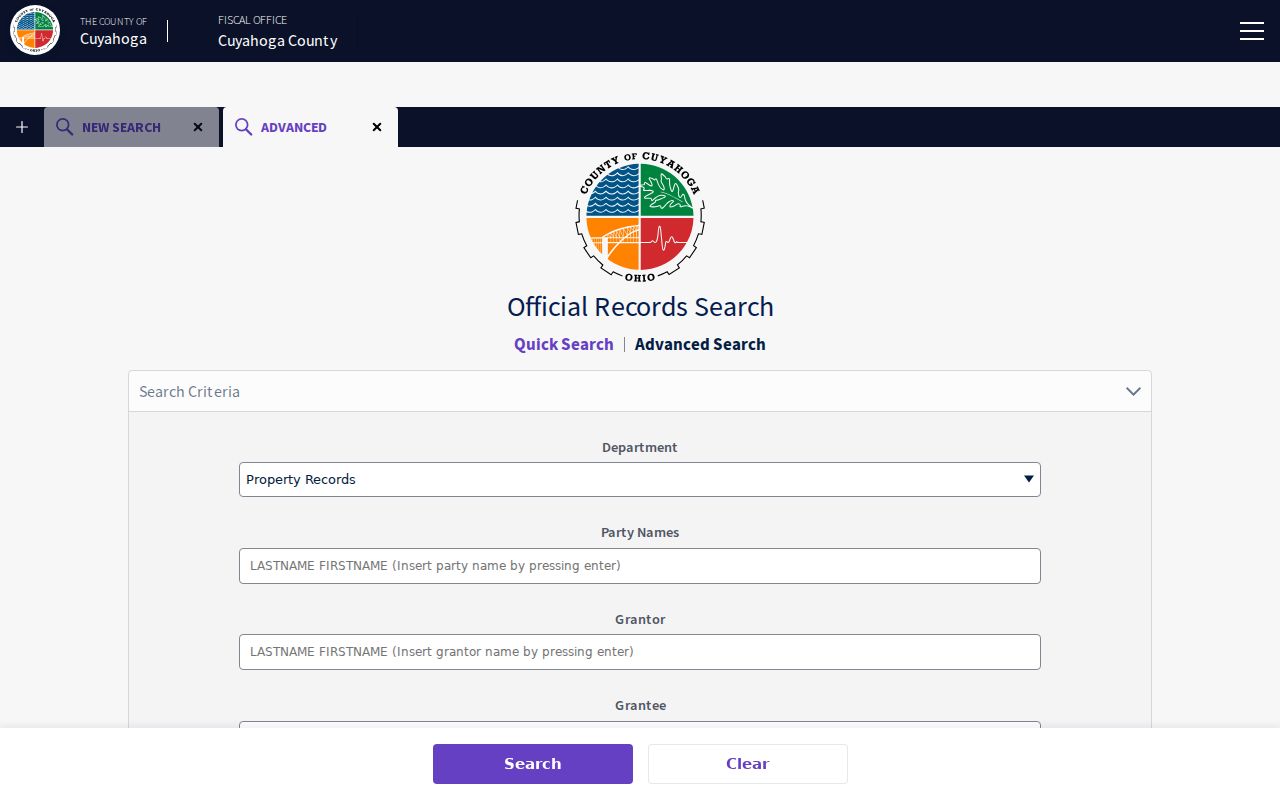
Those controls let a street search be narrowed by the parcel and document details that distinguish one property from another.
The Fiscal Office Recorded Documents department describes the 1810-to-present county collection and its counter route.
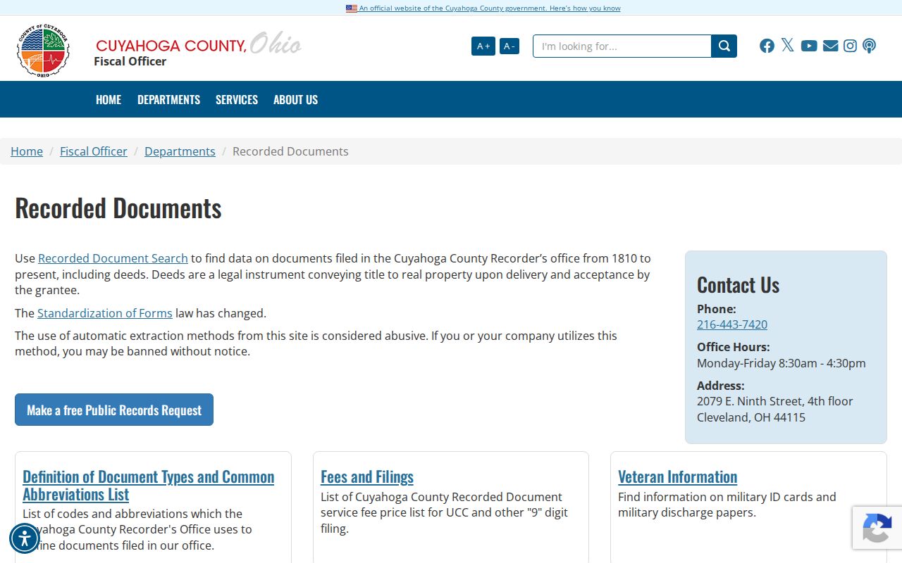
The department remains the source for an official record when a search result or image needs confirmation.
Cuyahoga County Permit Record Limits
Permit material can add a dated property clue to a Cuyahoga County address trail. MyPlace includes a Permits tab, while Cleveland’s Records Administration describes routes for permit history, certificates, and code-violation requests. The municipality in the address controls this step. Cleveland’s office is an example for Cleveland addresses, not a single countywide source for every city or village.
A documented permit may show that an owner notified the city and obtained a record for work at a property. It cannot show that every change to a building was recorded, and a missing result does not prove that no work occurred. Keep the permit or document number, date, address, and parcel PIN with the request so a clerk can locate the same property file.
Cleveland Records Administration describes the city’s permit, certificate, and code-record request path.
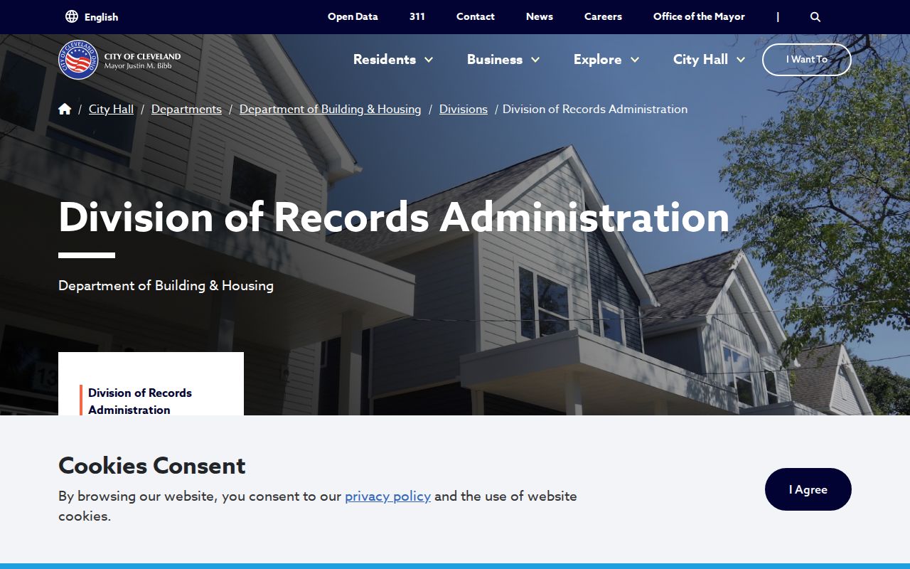
The city route is useful only after the parcel’s municipality has been confirmed.
Note: Keep a permit result separate from ownership, voter registration, and any claim about current presence at an address.
Historic Cuyahoga County Street Listings
Historic address work changes sources by era. Cleveland Public Library holds a complete microfilm set of Cleveland City Directories, and the Cuyahoga County Archives reports Cleveland directories from 1837 to 1972, not inclusive. Beginning in 1929, the Cleveland volumes place a property-by-address section at the end of each book. Find the number there, then check the corresponding alphabetical entry and the edition year. Before that date, pair a name-oriented directory search with maps, tax material, and the deed chain.
Suburban coverage changes by title year, so an apparent gap may reflect a different directory title rather than a missing household. County Archives also warns that street names, dimensions, and descriptions change. Save former and current street forms, lot or subdivision terms, map references, and legal descriptions. A street-by-street method is strongest when it preserves that continuity instead of treating an old number as automatically identical to a modern one.
The County Archives property-research guide sets out the appointment-based route for maps, tax records, deeds, and house-history material.
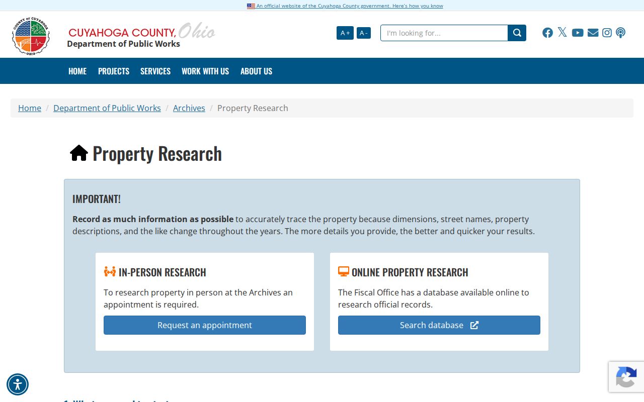
The Archives is the documented fallback when an older map, tax record, or source-era document is not available in the online chain.
Cuyahoga County Street Record Eras
Cuyahoga County’s property trail begins with deeds and additional ownership documentation around 1810, but the supporting layers begin at different times. County Archives holds tax records from 1819 through 1986, while modern tax material is available through the Fiscal Office route. Original map volumes run from about 1860 to 1945 at Archives, with later maps directed to the Fiscal Office Map Room. This overlapping record history is why an address search should switch custodians rather than assume one modern screen covers every decade.
The Archives requires an appointment for property research and allows self-service microfilm. A detailed mail or email request can also be used when it names the address, parcel, dates, and record type. The Archives says it responds to detailed remote requests within three weeks, provides the first 40 photocopies without charge, and charges three cents for later copies. The Recorder counter is the documented alternative for an instrument that needs source review.
Note: A blank online result may reflect an old name form, an indexing difference, or a physical series, so retain the failed terms and date range.
Cuyahoga County Street Directory Limits
An address search can identify a parcel, a tax or recorded-document relationship, a map position, or a dated directory entry. It cannot turn those records into a full present-day household list. The reviewed voter tool requires a person’s name and county before it returns registration and precinct information. The state’s DATA Act files are a separate delivery channel with date and county controls, not a public web control for browsing every address. Utility, delivery, motor-vehicle, protected court, and protected-address data should not be inferred from a property result.
Ohio’s Safe at Home program permits qualifying participants to use a substitute address and includes protections affecting voter and real-property records. A missing or unusual address can be a lawful confidentiality measure, not an error to reverse. Ohio’s Public Records Act provides access subject to record-specific exemptions and redaction. Ask the relevant custodian for an allowed record, and do not attempt to reconstruct protected information.
Lawful use. Use Cuyahoga County address records for personal, family-history, property, or civic research. Do not use them to stalk, harass, intimidate, or expose protected information about anyone.