
Cuyahoga Neighbors: Block Record Sources
A Cuyahoga County neighbors search has several narrow record paths. The parcel map identifies the separate pieces of land beside a target address. MyPlace opens the selected parcel's tax and ownership labels. Election records confirm an identified person's registration status through a required name-and-county search, but they do not provide a public block browse. Historic directories and maps add dated context. Treat each source as proof of its own limited fact, and keep a separate row for each parcel rather than each street number.
| Source | What It Shows About a Block | Access |
|---|---|---|
| County GIS parcel layer | Parcel PIN, geometry, map book and page, parent or retired parcel cues | Public map and query service; a geographic index, not an ownership certification |
| Cuyahoga County MyPlace | Owner lead, site and mailing labels, transfers, tax, permits, and legal-recording navigation | Free compiled County data; official record remains with the originating custodian |
| Ohio My Voter Information | Registration, precinct, and polling-place confirmation for an identified person | Requires first name, last name, and county; no promised block roster |
| Cleveland directory address section | People listed at an address in a particular edition from 1929 forward | Library and Archives historical route; scope varies by year and municipality |
| Public civic contacts | District, municipal, or planning route for a block question | Public staff contacts, not resident or association membership lists |
MyPlace distinguishes a physical site address from a tax mailing address. The first locates the parcel. The second tells where tax correspondence goes. A mailing label may be elsewhere, so it does not establish who lives on a parcel or who your Cuyahoga County neighbors are.
Map Cuyahoga County Neighbor Parcels
The adjacent-parcel method begins with the target parcel and expands only to the parcels that touch it. MyPlace offers City, Owner, Parcel, and Address modes, then a View Map route. The County GIS layer adds the parcel PIN, parent or retired parcel relationships, map book and page, parcel information, and geometry. Those fields matter at a split lot, a multi-unit property, or a boundary where a street number alone looks simple but covers several recorded pieces.
- Search the address in MyPlace, choose the correct municipality when needed, and record the site address and permanent parcel number exactly as displayed.
- Use View Map or the County GIS parcel layer to zoom to the target and click each adjoining parcel separately.
- For every adjacent parcel, retain the separate PIN, site and mailing labels, transfer lead, and source date. Do not merge parcels because one name appears more than once.
- When a boundary is unclear, compare the map book and page, parent PIN, legal description, and Recorder instrument before drawing a conclusion.
For a full named-street chain rather than the immediate block, use the Cuyahoga County street directory record path. It follows address, deed, and historical-directory evidence beyond adjoining parcels.
Note: Keep the source's original street spelling and unit label alongside any normalized form, especially when a parcel has changed or a map pin is ambiguous.
Cuyahoga Neighbor Voter Boundaries
Ohio's voter screen is a one-person confirmation tool. It requires first name, last name, and county, and may later ask for a street name to narrow a result. It displays registration, precinct, and polling-place information. A missing result can reflect a derivative first name, a former surname, a prior Ohio county, or a protected record. It should never be turned into a conclusion that an address has no registered voters.
The Cuyahoga Board of Elections is the local custodian. The Secretary of State's DATA Act route handles daily registration snapshots by date and county, with delivery limits for larger requests. Those official channels are different from a searchable block list, and ballot choices are not a voter-record field.
The Cuyahoga County Board of Elections is the official local election contact.
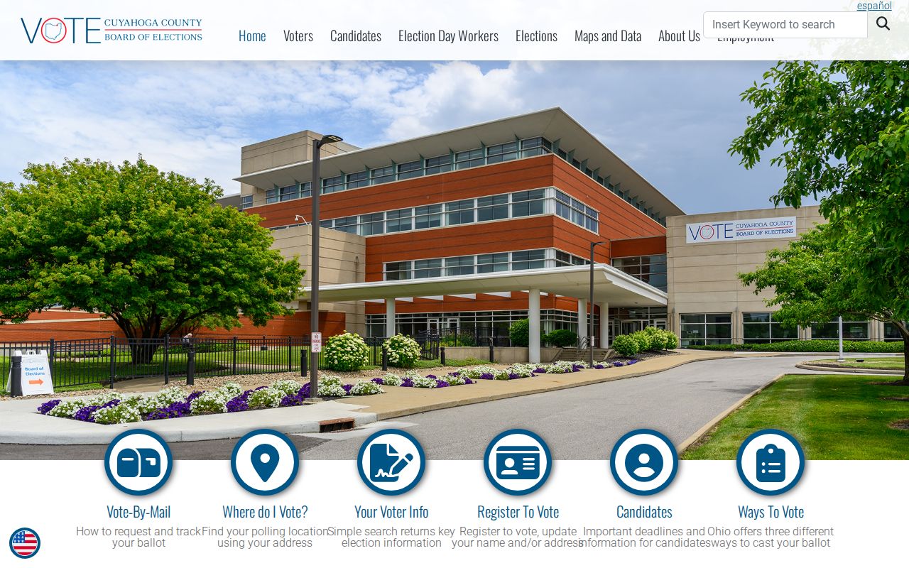
Use the Board for an election-record question after retaining the exact name form and the date of the lookup.
Cuyahoga Block Contact Paths
A Cuyahoga County neighbors question about a meeting, service issue, or municipal concern needs a public contact, not an asserted membership roster. Cleveland's Community Relations Board has five district representatives and supports neighborhood meetings, block and street-club development, police and community cooperation, and court watch. Its general office is at 601 Lakeside Avenue, Room 11, with 216-664-3290 as the published phone. It is a contact path for a civic question, not a directory of people who live in a neighborhood.
Cleveland District Representatives
Five district representatives support meeting and block or street-club connections.
Use the public district-representative contact route.
Community Relations Board
Citywide civic relations and district routing, with public staff contacts rather than member lists.
601 Lakeside Avenue, Room 11, Cleveland
County Planning Regions
Eight regional groupings give geographic context and route a community question.
They do not establish neighborhood membership.
Municipal Contacts
Use the city or township named in the address for a local clerk, permit, or civic contact.
Keep the municipality with the street address.
The Cleveland district representatives page supplies the official contact route for a city block concern.
That public route keeps the question with staff who handle district and block-club connections instead of treating a map as a social roster.
The City of Cleveland official contact list is another public handoff when a city department must handle the issue.
For a non-Cleveland address, retain the municipality and use the published local-government contact rather than a Cleveland office by default.
Cuyahoga County Planning Regions
Cuyahoga County's eight Planning Commission regions make the local geography more precise than a postal city name. The Cleveland Region includes Bratenahl, Cleveland, and Linndale. Heights includes Cleveland Heights, East Cleveland, Shaker Heights, and University Heights. Hillcrest and Westshore group different suburban communities, while Southwest, Southcentral, Cuyahoga, and Chagrin/Southeast cover the remaining areas. These regions are useful for routing a geography or public-contact question, not for deciding where a neighborhood begins or who participates in it.
That local geography matters because a Cleveland mailing label or ZIP can sit near another municipality. Identify the parcel municipality first, then choose the County, city, township, or state record custodian that holds the underlying item. Planning regions offer context only; they do not create a Cuyahoga County neighbors list.
Cuyahoga Neighbor Court Boundaries
Court files are not a block directory. The Cuyahoga County Clerk of Courts web search covers Common Pleas General and Domestic Relations records and Eighth District appeals, but its online information has exclusions for domestic-violence and civil-stalking-protection-order cases. Protected identifiers, juvenile records, adoption files, and sealed or expunged material have separate limits. A court result should remain a case record with a court, number, and date, not a claim about who lives nearby.
The Cuyahoga County Clerk of Courts identifies the official County court custodian and its docket route.
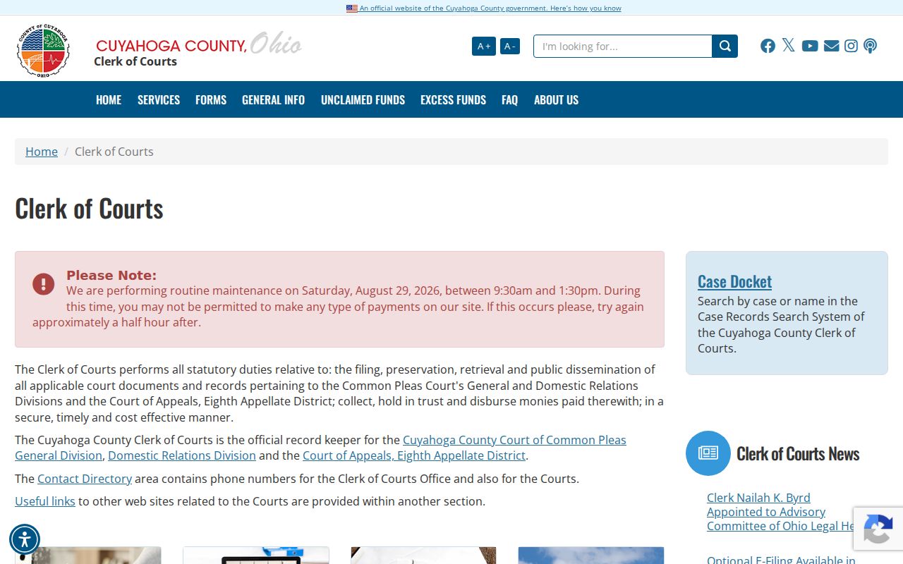
The Clerk's counter or official file is the confirmation path when a court record must be checked, subject to the file's access rules.
The Northern District of Ohio court-records page is a separate federal route for federal matters.
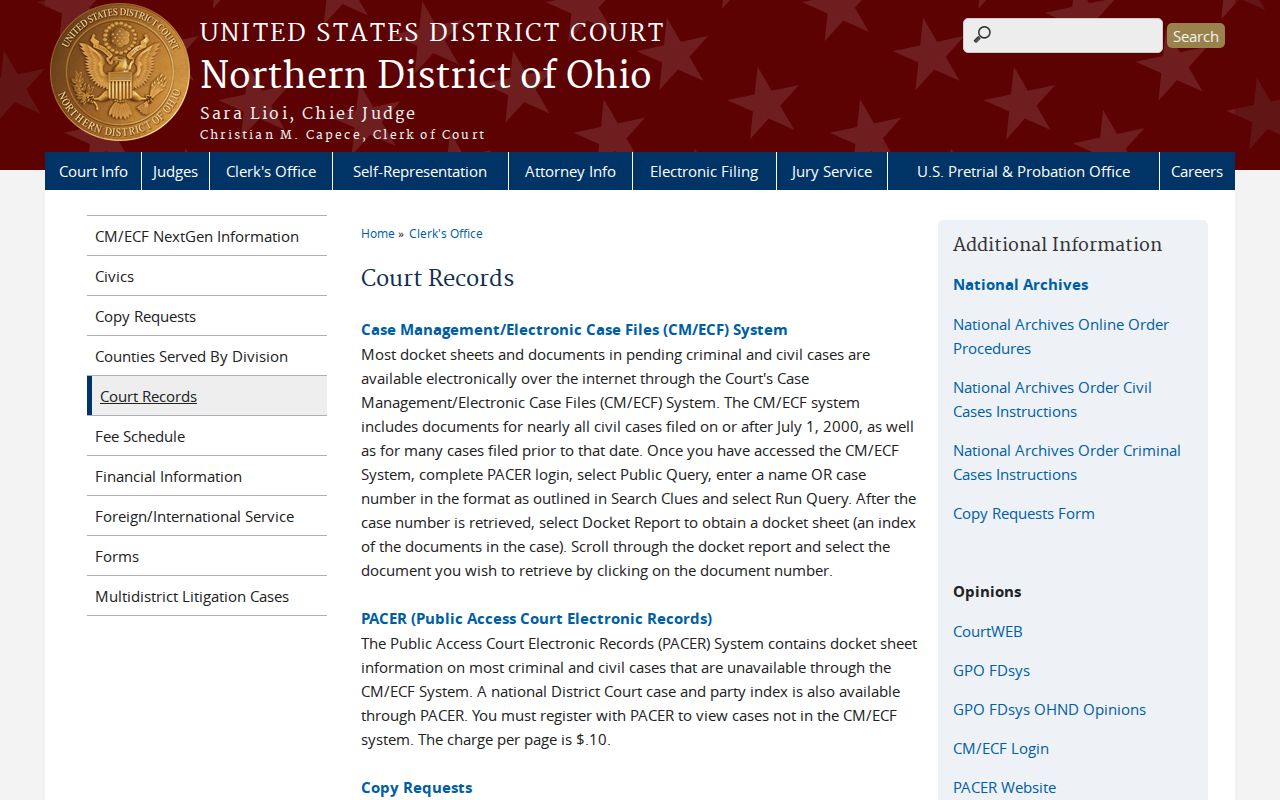
Federal and County court records should not be mixed to infer a person's current address or relationship to an adjacent parcel.
Historic Cuyahoga Neighbor Addresses
For an older block, start with the address in a directory edition and compare nearby house numbers with a tax map, atlas, or Sanborn sheet from a close year. Cleveland City Directories list properties by address at the end of each volume from 1929, then point back to alphabetic entries. The directory date is the date of the edition, not a guarantee of continuous residence. Before 1929, use the name and occupation entry with maps and tax records to bridge an address.
Parcel history matters before carrying an old name forward. MyPlace transfers and the Recorder chain can show that a lot was split or joined. County Archives and library material provide the historic map and directory fallback. The Cleveland Public Library directory collection has selected digitized titles, while the complete run is on CPL microfilm. Suburb coverage changes by year, so inspect the title page before treating an omission as a move.
Cuyahoga Neighbor Record Comparison
Official parcel and civic records start with a stated custodian, source date, and defined field. Commercial neighbor-lookup products compile material from many places and can lag record changes or confuse owners with occupants. The useful comparison is not one source against a list of people. It is parcel boundary and official record on one side, then the specific question and a public contact path on the other.
| Official parcel and civic sources | Show the parcel, mapped boundary, named custodian, or public district contact. They still do not identify every person at an address. |
|---|---|
| Compiled neighbor tools | Can be stale or merge records from different people. They should not replace the County source or be used to claim household membership. |
| Safer next step | Retain the parcel PIN, source date, municipality, and record type. Ask the appropriate public office about a specific record or civic service. |
One row per parcel preserves the difference between a map relationship and a personal relationship. Shared surnames, shared mail labels, and map adjacency are not evidence of kinship, occupancy, or organization membership.
Cuyahoga Neighbor Privacy Limits
Some information about a block remains private or protected. Utility and delivery information are not public parcel fields. A parcel card does not list every household member. Ohio Safe at Home can provide a qualifying participant with a substitute address and supports real-property confidentiality notices. Do not expose, infer, or try to reverse a protected address. The public-record rule in Ohio also allows redaction of exempt material while making the nonexempt portion available.
Ohio's Safe at Home statute explains the statewide address-confidentiality route for eligible participants.
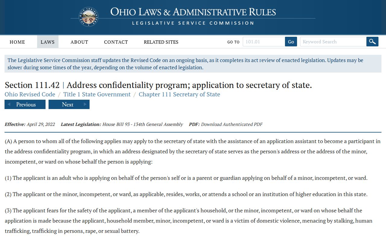
Protected or unusual address information is a reason to stop and use an authorized custodian route, not an invitation to fill in the gap.
When a parcel or civic record appears wrong, contact the office that maintains it with the parcel PIN, record date, and municipality. Do not publish a disputed address while waiting for a correction.